


 Station Number: ID-GM-5")
New CoCoRaHS Volunteers Needed for all areas of Idaho Click for Details |
||
| Emmett, Idaho Weather | ||
NE Pacific, NW US & Continental US
Regional Radar and Infrared Satellite Imagery
Mouseover Images to Enlarge
North East Pacific Satellite LoopInfrared Satellite
|
North West IR Satellite LoopNW Infrared Satellite |
North West Radar LoopRegional Radar
|
Boise-KCBX Radar LoopBoise-KCBX Regional Radar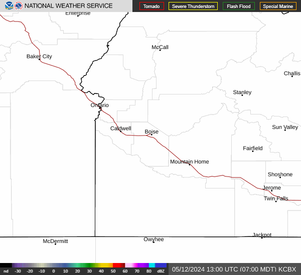
|
Continental US IR Satellite LoopCONUS Infrared Satellite |
CONUS Radar LoopCONUS Radar
|
| Updated: @ 02-Aug-2026 2:07pm - next update at 11:55am | |||||||||||||||||||||||||||||||||||||||||
| Summary / Temperature | Wind | Rain | Outlook | ||||||||||||||||||||||||||||||||||||||
|
|
|
|
||||||||||||||||||||||||||||||||||||||
| Humidity & Barometer | Almanac | Moon | |||||||||||||||||||||||||||||||||||||||
|
|
|
|||||||||||||||||||||||||||||||||||||||
| UV Index Forecast | UV Index Forecast | ||||||||||||||||||||||||||||||||||||||||
|
|
||||||||||||||||||||||||||||||||||||||||


| NWS Weather Forecast - Outlook: This Afternoon & Tonight | ||||||
|
||||||

Real-time PurpleAir Air Quality Index |
|||
Old Freezeout
|
W Floating Feather Rd/Hwy 16
|
Canterburry - Old Chaucer Way
|
Hwy 55
|


