

Select NOAA-NWS Forecast Office Text Products
(Product availability varies with seasons, forecast office, and weather.)
Forecast Discussion for Boise, ID
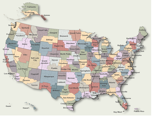
To Select Another NWS Office Click on Map or Choose from List
|
| Select Forecast Office: | Select Product: |
753 FXUS65 KBOI 150009 AFDBOI Area Forecast Discussion National Weather Service Boise ID 609 PM MDT Tue Jul 14 2026 .UPDATE...Updated aviation discussion. && .KEY MESSAGES... - Chance of showers and thunderstorms mostly over higher terrain through next weekend. - Hot temperatures into the upcoming weekend with valley highs around 100 degrees. && .SHORT TERM /Through Thursday Night/... Issued 240 PM MDT TUE JUL 14 2026 An upper shortwave trough and accompanying deep moisture (+1.2" PW content) that brought showers to much of the area today will exit the area by this evening. Temperatures will be quick to heat up through this evening as skies clear behind this feature. Southeast Oregon and higher terrain south of the Snake Plain will see isolated/scattered showers and thunderstorms to develop through sunset. While the air mass will be trending drier, heavy rain and gusty outflow winds to 40 mph remain a possibility. Wednesday starts out with less cloud cover and ends with hotter temperatures than today. Though drier, the air mass will retain enough moisture to support isolated afternoon shower/storm development over higher terrain. Similar to this afternoon the focus of thunderstorm initiation will be SE Oregon and areas along the ID/NV border. Locally gusty outflow winds to 45 mph will accompany the stronger storms. Thursday will see a gradual westward expansion of the central US upper high (aka the heat dome). This will bring a return to 100 degree heat across lower elevations while afternoon instability will support another round of thunderstorms. The better environment for development is over SW Idaho on Thursday as drier air could inhibit initiation across SE Oregon. The added heat/instability could be enough to sustain activity as it moves off higher terrain and into the valleys. && .LONG TERM /Friday through Tuesday/... Issued 240 PM MDT TUE JUL 14 2026 Hot, southerly flow remains over the region through the long term. Max temperatures will be 5-10 degrees above normal during this period, warm enough for triple digits multiple days in a row in the Snake Plain and lower elevations. Moderate to Major Heat Risk will affect individuals sensitive to heat during these days, especially if morning low temperatures trend warmer. At the same time, a consistent moisture tap keeps shower/thunderstorm chances elevated in Central Idaho and South- central Idaho. Storms will form in the afternoon/evening each day through Sunday. Monday and Tuesday next week may continue this hot and stormy pattern, although a potential pattern shift is leading to some uncertainty in where the best storm environment moves. && .AVIATION /00Z Wednesday through Thursday/... Issued 557 PM MDT TUE JUL 14 2026 VFR with isolated showers/thunderstorms this evening, mainly over southeast OR and the ID-NV border. Thunderstorms could produce gusty outflow winds up to 35 kt and heavy rainfall. Surface winds: W-NW 10-20 kt with gusts 20-30 kt from KBOI to KJER. Storms could produce wind gusts to 25-35 kt. Winds generally lowering down to NW or variable 5-12 kt tonight after sunset. Winds aloft at 10kft MSL: SW 5-20 kt. KBOI...VFR with few to scattered mid-high clouds. 5% chance of showers/thunderstorms moving in vicinity this evening. Surface winds: NW 5-15 kt with gusts to 20 kt possible this evening, lowering to variable under 6 kt late tonight after Wed/06Z. && .BOI WATCHES/WARNINGS/ADVISORIES... ID...None. OR...None. && $$ www.weather.gov/Boise Interact with us via social media: www.facebook.com/NWSBoise www.x.com/NWSBoise AVIATION.....JY SHORT TERM...DG LONG TERM....JM |
Previous Forecast Discussions may be found at
NWS Boise, ID (BOI) Office Forecast Discussions.
(Click 'Previous Version' there to view past versions successively.
Some may differ only in time posted.)
Products Courtesy of NOAA-NWS
NWS Information Parsing Script by Ken True at Saratoga Weather - WFO and Products Scripts by SE Lincoln Weather.
Mapping by Curly at Michiana Weather and by Tom at My Mishawaka Weather.


